-
- Comment
- From Greg Lauver
- 1-8-4
-
- Regarding the articles:
-
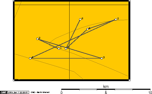
- Scientists Closely Monitoring Yellowstone
- <http://neic.usgs.gov/neis/bulletin/>Earthquake
Swarm In Wyoming
- <http://www.rense.com/general47/wy.htm>Wyoming
Quakes Mapped
-
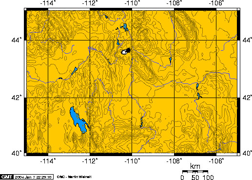
- There are excellent interactive world and US maps at
- <http://wwwneic.cr.usgs.gov/>USGS National Earthquake
Info Center, Boulder
- <http://wwwneic.cr.usgs.gov/>http://wwwneic.cr.usgs.gov/
- where you can click on quake markers for zoom and specs.
The initial world map is color coded by depth and the markers are sized
by intensity. By clicking the Latest Quakes tab at upper left, you get
a US map of markers sized by intensity and color coded by Last Hour-Day-Week.
-
- Watching these maps daily over time, it appears that
regular clusters in Washington state, and particularly in Utah, are slowly
migrating towards Yellowstone.
-
- There is a USGS site at
- <http://volcanoes.usgs.gov/yvo/>Yellowstone Volcano
Observatory
- <http://volcanoes.usgs.gov/yvo/activity.html>http://volcanoes.usgs.gov/yvo/activity.html
- but it's a monthly summary, mostly spun to mollify all
concerns. Keep in mind that if anything serious did happen, the sensors
would be toast. It would be kind of pathetic to be sitting on your fat
duff, cussing because a page won't load, while megatons of rocks descend
over your head.
-
- One likely scenario is utter devastation from pyroclastic
flow within a 375 mile (600 KM) radius (there goes Denver) and 5'-10' of
ash out to 750 miles. No, you can't "deal" with the ash, it
is microshards which fatally lacerate lung tissue (you suffocate on your
own blood). If you started from as far away as eastern Nebraska, with
an early warning, you might be able to escape.
-
- If anyone is interested, I threw a set of "quick
watch" frames together in one page at <http://members.aol.com/GregLauver/G-watch.html>G-watch
- <http://members.aol.com/GregLauver/G-watch.html>http://members.aol.com/GregLauver/G-watch.html
- which includes
- N3KL Solar Activity Monitor (the old Majestic Research
summary reloaded)
- the YVO
- the USGS NEIC
- the NOAA Space Environment Center, Space Weather Now
(very nice summary).
-
- The coding for my frames page is quite simple. Feel
free to pilfer & modify. You can download and run it right from your
hard drive by opening in your browser.
-
- Regards,
-
- Greg
|